Western Promenade Map & Geography
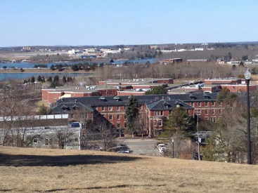
Western Promenade is an 18.3-acre park which is situated 175 feet above sea level on a steep escarpment. It straddles at least two neighborhoods, each with their own character. Portions of the park function in different ways depending on their landscape characters and historical development. The different park areas are:

The Western Promenade roadway: Comprised of the roadbed, its esplanades, trees, and sidewalks. The roadway is characterized as a local road and as such it has relatively low traffic volumes, despite its generous width.

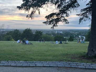
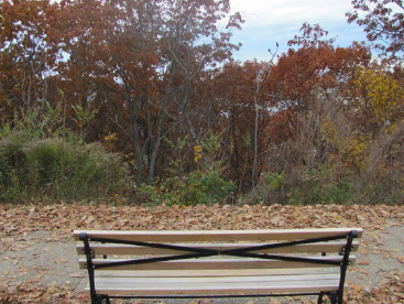
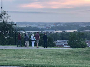
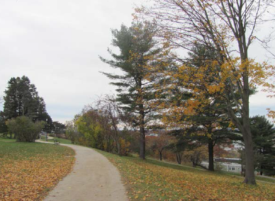
The upper park: This is the formal park from the crest of the hill with the broad lawn, paved rambling walkways, benches, and garden plantings. This area is used for walking, seating, enjoying views and sunsets, picnicking, ball play and bike riding. At the southernmost end is the Prospect Point, the loop walkway at the head of Bowdoin Street.
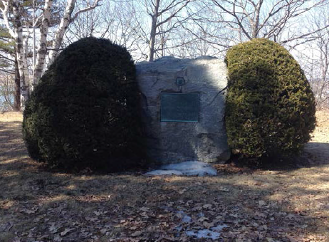
The southern park: This area begins below the terrace of Prospect Point at the Frothingham memorial space and continues south along the roadway across from Western Cemetery. Today, this portion consists mainly of lawn and some specimen trees. There are no defined walkways and amenities include only lighting.
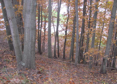
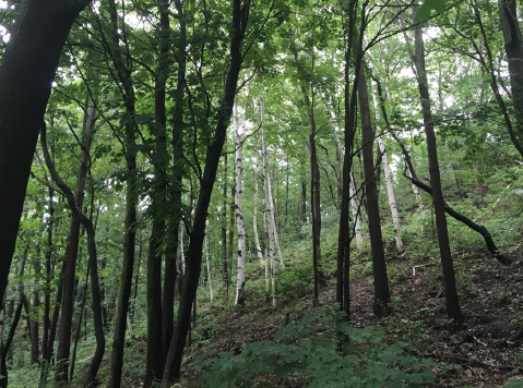
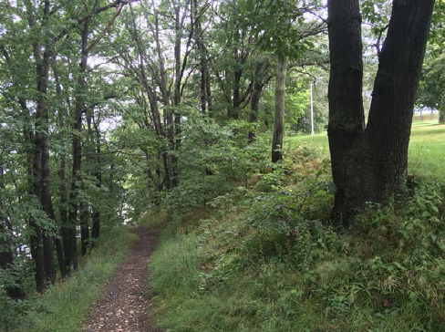
The slope: The slope is densely wooded save for the most northern end which has paved paths extending from the upper park to Valley Street. Existing trails include the Toboggan Run Trail and the Carriage Road Trail. The slope has grown over time to obscure many of the views for which the land was preserved, and much of the vegetation is volunteer plants and invasive species.
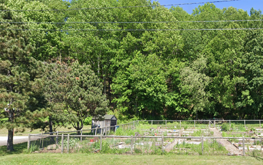
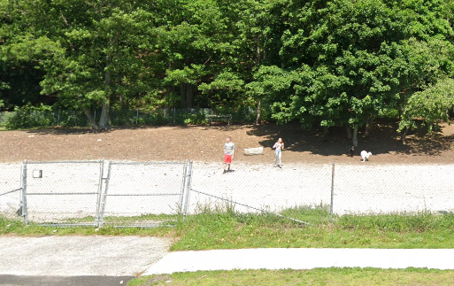
The lower park: This area is comprised of the more modern area of the park landscape along Valley Street at the base of the slope. It includes the community garden, dog park, a half-court basketball court, and the unpaved parking area.